U.S. History Wall Map - The U.S. In 1790 & About 1802
$40.00 - Sold
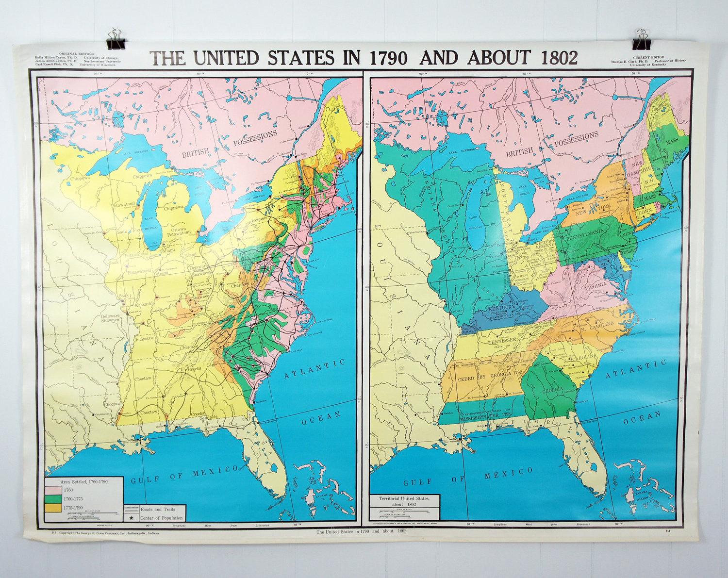
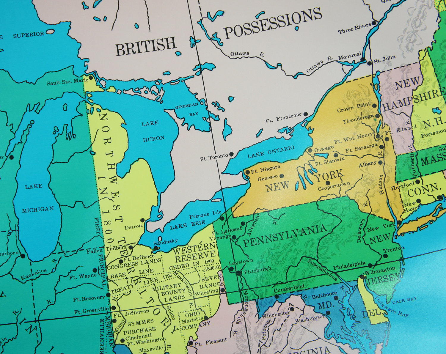
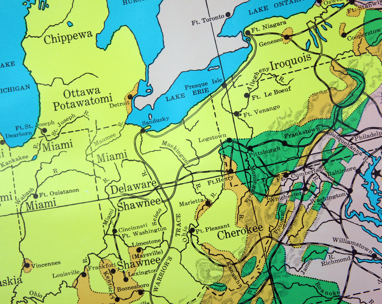
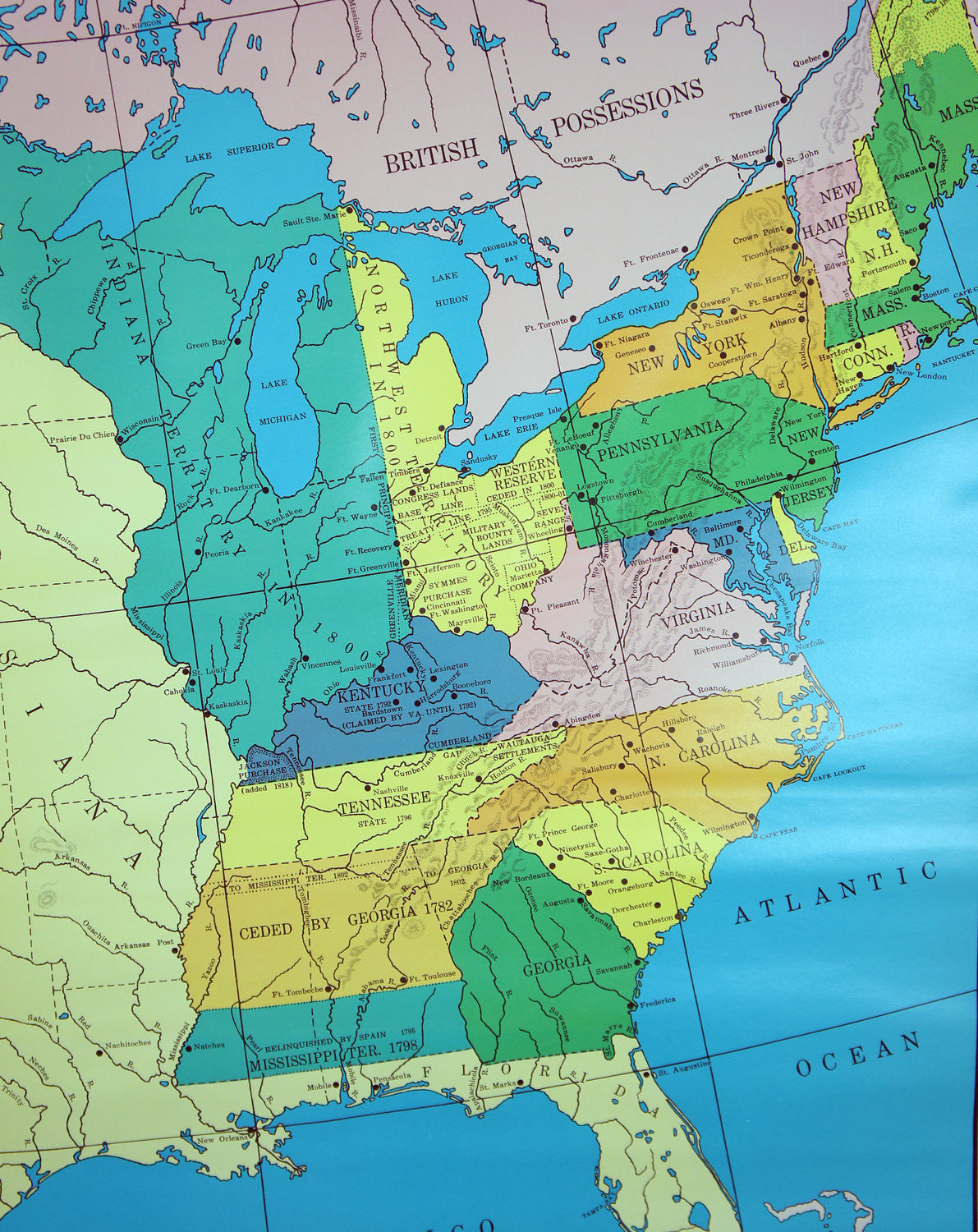
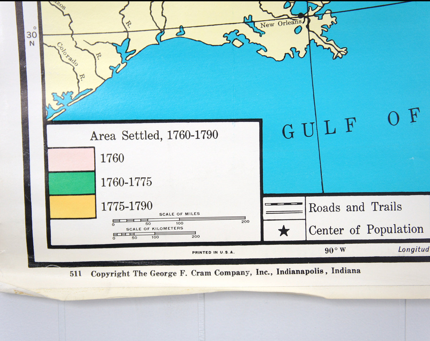
Check out this sweet vintage school wall map that displays two maps of the Eastern United States detailing the changes in territory ownership from the settled areas in 1760-1790 (on left) to the Territorial United States in about 1802 (on right). Printed in Indianapolis, Indiana by the George F. Cram, Company, this wonderfully large map has wonderfully vivid colors and is printed on a heavy paper material. Back in the day this map would have been attached to a metal bracket and rod which would have allowed history teachers to easily pull down the map for display purposes in their classroom. As you can see, the map has since been removed from the bracket and is being sold as is. This map would look great hanging in your library or study, either framed or as is!
We absolutely love the map's bright color palette which is broken down by land ownership on both maps.
Note: There is a slight glare on the map due to our lighting equipment. The colors are more bold in person!
Measurements: 51.5" Wide x 38" Long
Item Condition: Great vintage condition! Colors are still wonderfully bold and vivid! Has some normal wear due to years of use (i.e. wrinkling, creases, etc). Map has been rolled up for many many years and as such has some rippling which you should be able to smooth out by flattening it. There are a few small tears along the lower left edge of the map as well as a tear on the bottom center edge, directly to the right of the text " The United States in 1790 and About 1802." Would look great framed! Please see the provided pictures for further details.
Shipping Fees: In the event we find that we overcharged you once the item has been shipped we will immediately refund all shipping overage charges in excess of $2.
International Buyers: Please contact us prior to purchasing as we are unable to ship this map to some countries due to the overall size of the package.

